The platform is based on the open source framework and is used for the interactive display of 3D panoramas. It runs using HTML5 directly in the browser on practically every computer and almost all current smartphones and tablets (iOS, Android). User interaction takes place through keyboard, mouse and touch inputs. With mobile devices, motion sensors support navigation through the panoramas. The change between the scenes is achieved through AR hotspots.
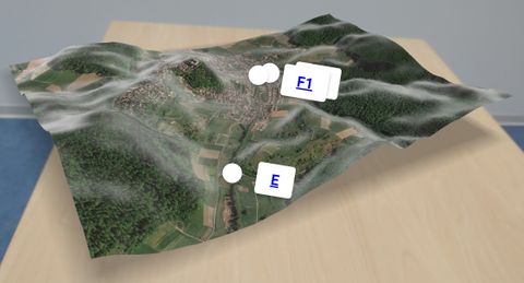
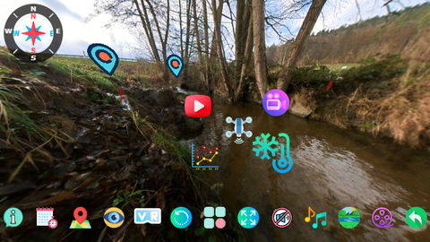
All information about the sensors, measuring devices and topography installed or used in the field laboratory is compiled and combined as AR content in the XR4Hydro model with photos, videos and GIS data. With a drone flight, additional aerial photos are created at selected locations and expanded with AR content, so that the students get a comprehensive technical insight.